FireSat Constellation Aims to Spot Wildfires at Their Inception from Orbit
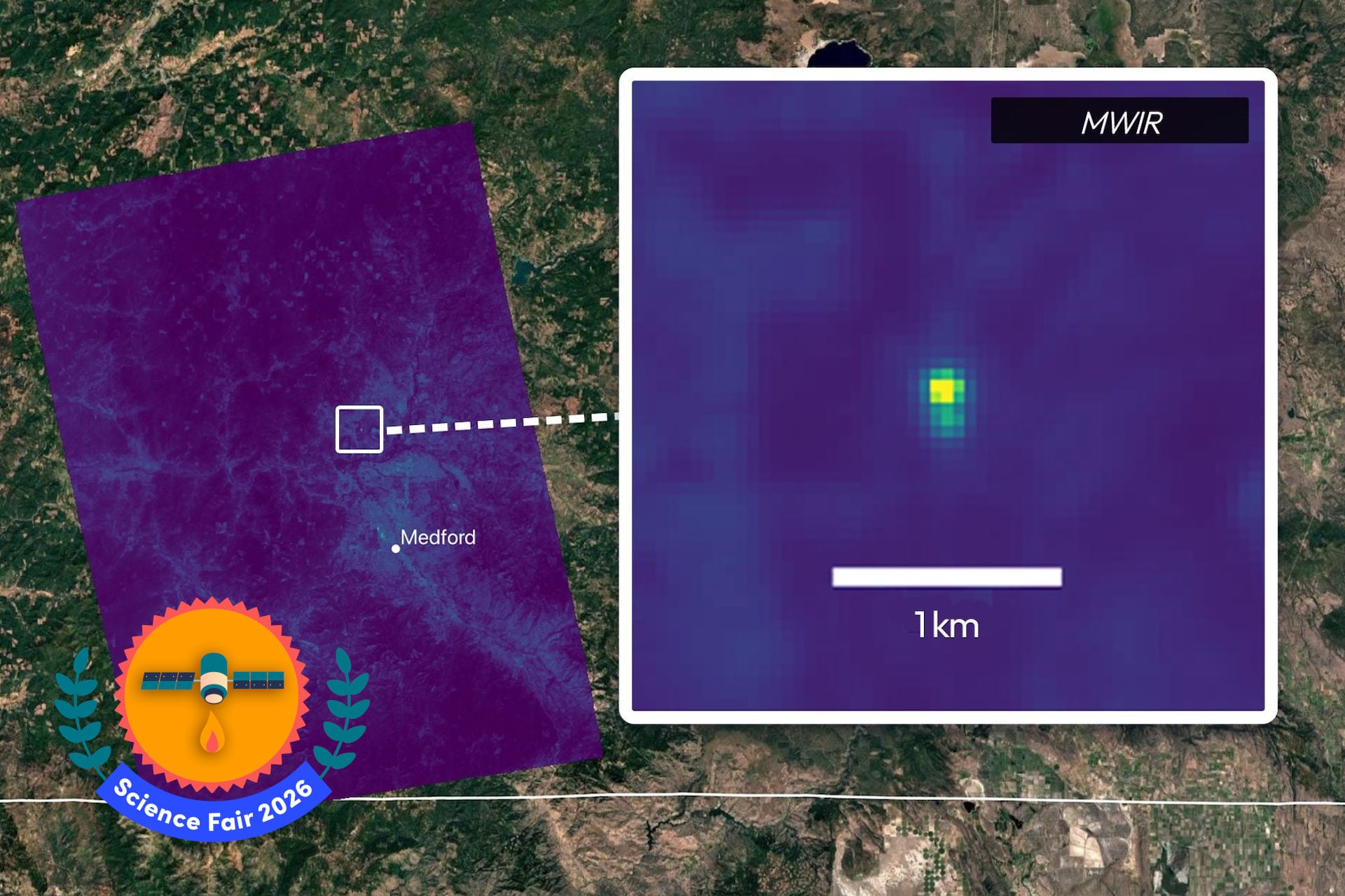
A new satellite network called FireSat is poised to change how the world spots wildfires, promising to detect the earliest thermal signatures of a blaze from space before the flames become visible on the ground.
The system consists of a series of compact satellites that orbit the planet in coordinated patterns, each equipped with high‑resolution infrared sensors capable of spotting subtle temperature anomalies. By continuously scanning vast swaths of forested terrain, the constellation can flag a potential ignition point within minutes of its emergence.
Wildfire seasons have grown longer and more severe in recent years, driven by climate change, drought, and land‑use pressures. Traditional detection relies heavily on ground‑based lookout towers, citizen reports, and aerial patrols, all of which can leave a critical time gap between ignition and response. That lag often determines whether a spark becomes a megafire.
FireSat’s approach sidesteps those delays by delivering near‑real‑time data directly to emergency management centers. When an anomaly exceeds a calibrated threshold, the satellite relays the coordinates to a central processing hub, where algorithms filter out false alarms such as industrial heat sources or solar reflections. Verified alerts are then pushed to firefighting agencies, who can mobilize crews or deploy drones to the exact location.
Early detection matters because every minute of unchecked growth multiplies the area a fire can consume, the emissions it releases, and the economic damage it inflicts. By shaving hours off the warning window, FireSat could enable containment strategies that protect lives, property, and ecosystems, while also reducing the cost of large‑scale suppression efforts.
The technology is not without hurdles. Processing terabytes of infrared imagery in real time demands robust ground infrastructure and sophisticated machine‑learning models to minimize false positives. Moreover, integrating satellite alerts with the fragmented landscape of local, state, and federal response agencies requires standardized communication protocols and training.
Developers of the constellation say the platform is designed to be extensible, with plans to add additional spectral bands that could monitor other environmental threats such as illegal logging or volcanic activity. Partnerships with research institutions and disaster‑relief organizations are already being explored, signaling a broader ambition to turn space‑based monitoring into a cornerstone of proactive land management.
If the pilot phase proves successful, FireSat could usher in a new era where the first flicker of a wildfire is spotted from orbit, giving authorities a decisive edge in the fight against a hazard that is only expected to intensify in the decades ahead.



Comments (0)
Be the first to comment.
Join the discussion