New Research Sheds Light on the Purpose Behind Peru's Ancient Nazca Geoglyphs
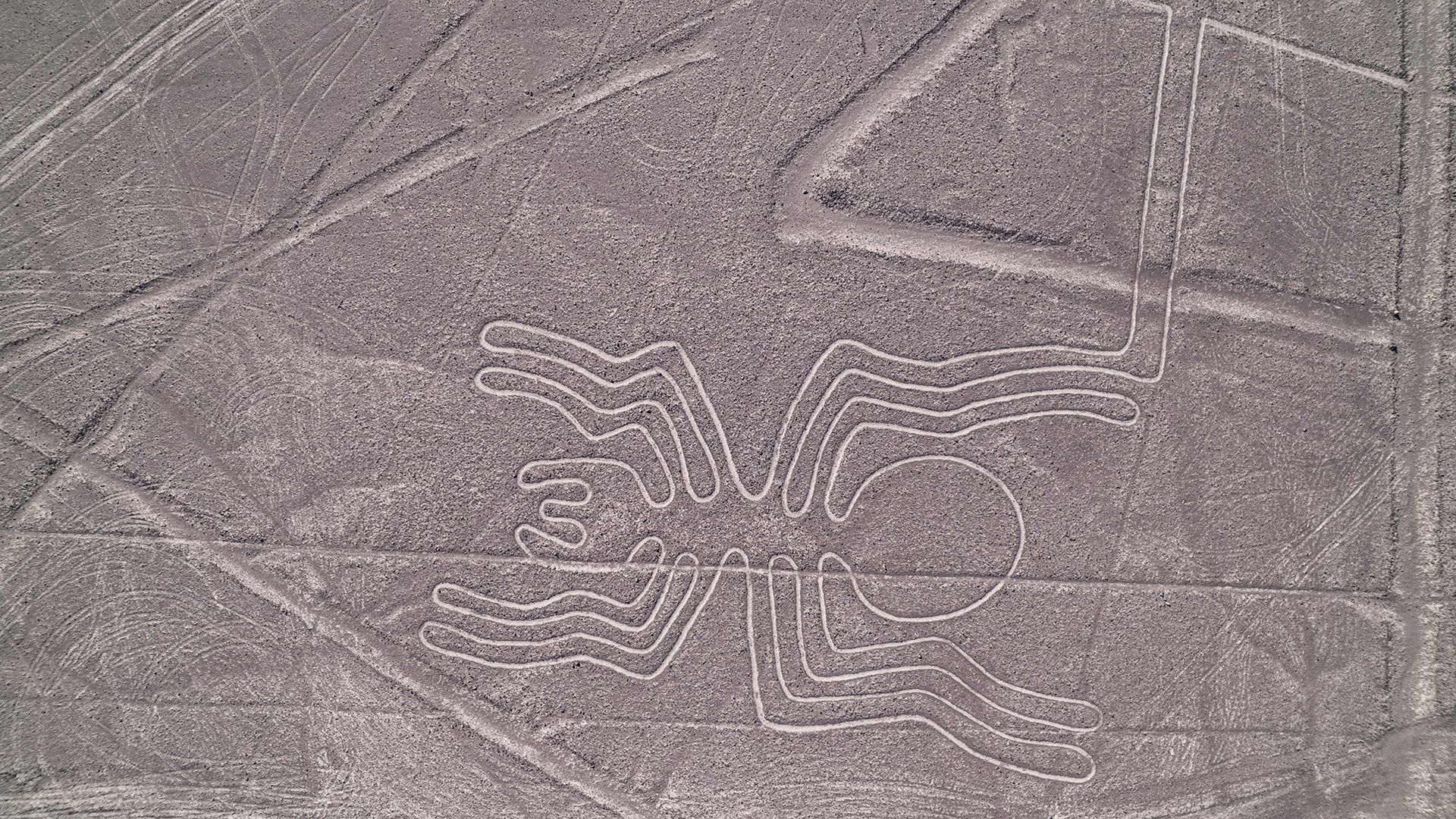
Scientists and archaeologists continue to explore the mystery of the Nazca Lines, a sprawling collection of ancient ground drawings in southern Peru that stretch over 800 miles (1,300 kilometers) of desert floor. Created roughly two millennia ago, the designs range from stylized animals and plants to complex geometric patterns, prompting ongoing debate about their original function.
One leading theory links the figures to water worship, a plausible motive in a region where rainfall is scarce and irrigation is essential for agriculture. Researchers point to the proximity of many lines to ancient aqueducts and ceremonial wells, suggesting that the geoglyphs may have served as offerings or prayers to attract rain and sustain crops.
Another hypothesis emphasizes the lines' potential role in astronomical observation. Some scholars argue that certain motifs align with solstitial sunrise and sunset points, indicating that the Nazca people could have used the vast drawings as a ground‑based calendar to track seasonal changes and guide planting cycles.
In addition to religious and astronomical explanations, recent studies propose that the lines functioned as processional pathways for ritual pilgrimages. The sheer scale of the figures—visible only from the air—implies that participants may have walked the routes while performing ceremonies, reinforcing communal identity and reinforcing social hierarchies.
While no single interpretation has achieved universal acceptance, the consensus acknowledges that the Nazca Lines likely fulfilled multiple purposes, intertwining cosmology, environmental concerns, and social practice. Their construction required coordinated labor, precise planning, and an intimate knowledge of the desert’s stable surface, reflecting a sophisticated culture capable of large‑scale engineering.
Preservation of the geoglyphs has become a pressing issue as tourism grows and climate change threatens the fragile desert environment. UNESCO designated the site a World Heritage area in 1994, and Peruvian authorities now limit aerial flights and vehicle traffic over the lines to mitigate erosion.
Future investigations, including high‑resolution satellite imaging and ground‑penetrating radar, aim to map previously undiscovered figures and refine dating techniques. As technology uncovers more details, scholars hope to narrow the range of plausible explanations and bring greater clarity to the motivations of the Nazca civilization.
For now, the Nazca Lines remain a striking testament to ancient ingenuity, inviting both admiration and scholarly inquiry into how early peoples expressed their relationship with the natural world through monumental art.


Comments (0)
Be the first to comment.
Join the discussion