Satellite Images Complement Casualty Data, Offering a Fuller View of Modern Conflicts
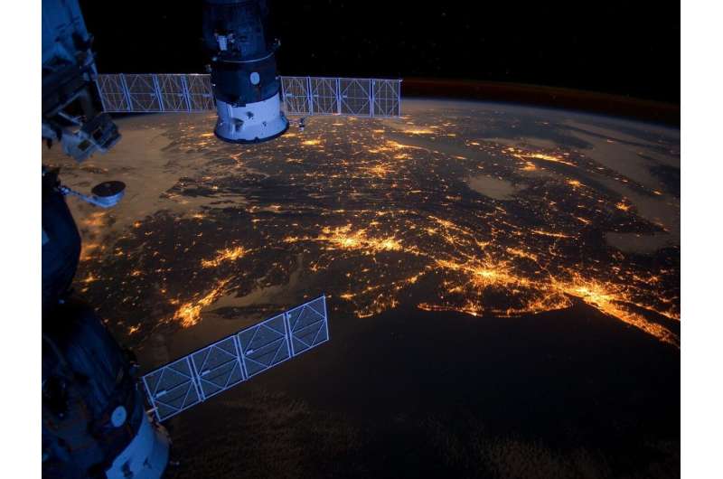
A new study published in the journal Nature argues that relying solely on casualty numbers paints an incomplete picture of armed conflicts. By integrating satellite imagery with traditional ground reports, researchers say analysts can uncover patterns of displacement, infrastructure damage and battlefield dynamics that raw death tolls miss.
Lead author Valerie Sticher and her team evaluated several data streams—including casualty registries, media accounts, and high‑resolution satellite photos—to develop a framework for cross‑checking and enriching each source. The methodology emphasizes temporal alignment, allowing analysts to see how a surge in fighting translates into observable changes on the ground, such as burned villages or newly formed refugee routes.
The authors illustrate the approach with the war in Ukraine, where official death counts have varied widely between governments and NGOs. Satellite images captured the rapid expansion of artillery positions, the destruction of power substations, and the emergence of makeshift camps along the front. By matching these visual cues with reported casualties, the study showed that some intense clashes produced relatively few confirmed deaths but caused extensive displacement and infrastructure loss.
A second case study focuses on Myanmar's protracted civil unrest. In regions where journalists face severe restrictions, satellite monitoring revealed the systematic burning of villages and the construction of temporary detention facilities. These observations provided evidence of human rights violations even when official casualty figures remained low or were deliberately under‑reported.
Sticher’s findings suggest that policymakers, humanitarian groups, and media outlets could benefit from routinely pairing satellite data with casualty statistics. The combined view helps identify emerging hotspots, allocate aid more efficiently, and hold perpetrators accountable. As satellite technology becomes cheaper and more accessible, the study foresees a future where real‑time imagery becomes a standard component of conflict monitoring, complementing traditional reporting rather than replacing it.


Comments (0)
Be the first to comment.
Join the discussion