Amateur Astronomer’s Satellite Scan Uncovers 390‑Million‑Year‑Old Impact Crater in Quebec
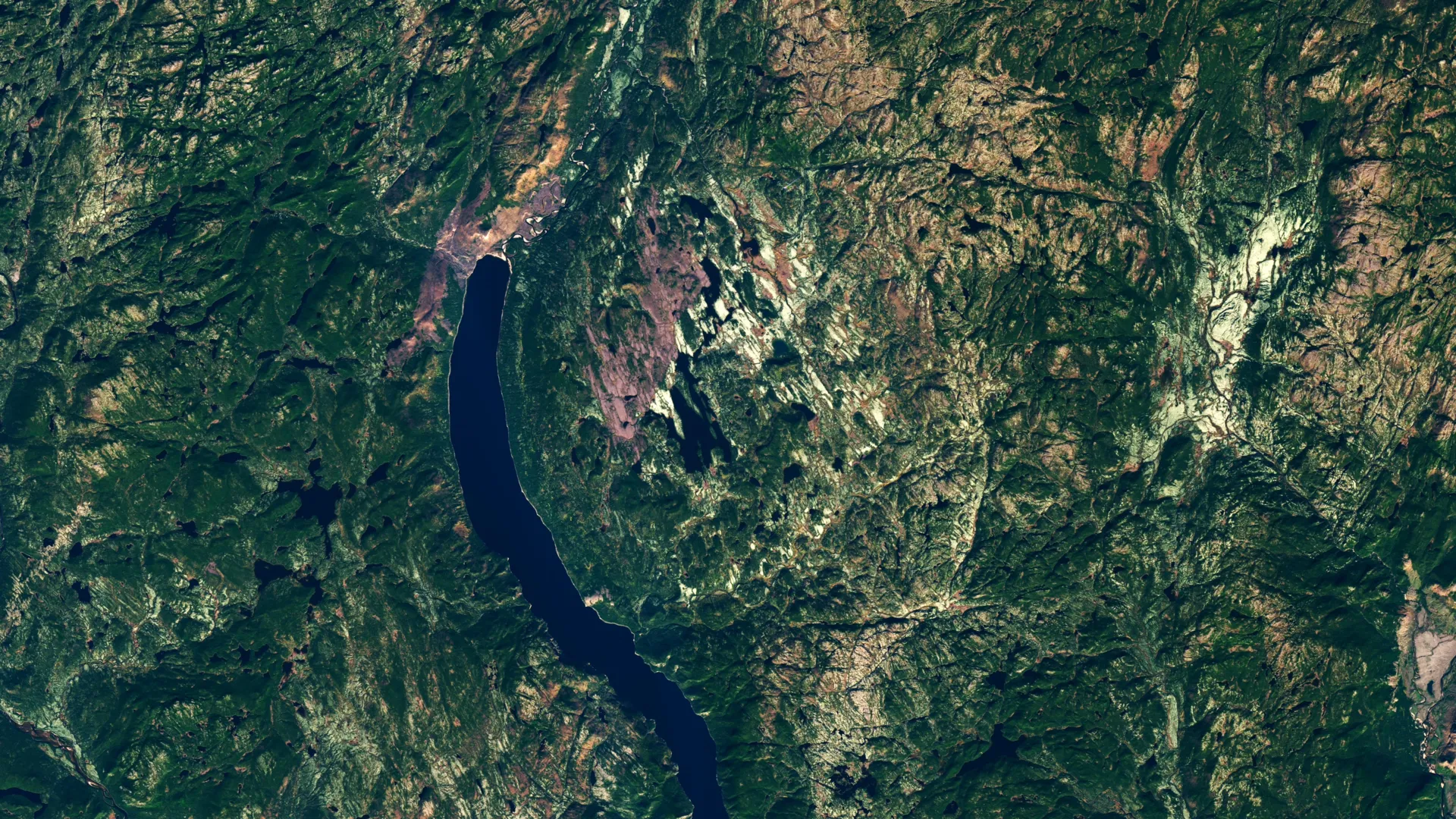
An amateur astronomer mapping potential campsite locations in Quebec’s remote wilderness inadvertently highlighted a massive, perfectly round anomaly on satellite imagery, prompting geologists to investigate what turned out to be a 25‑kilometre-wide impact crater dating back roughly 390 million years.
The curious circle first appeared while the hobbyist was scrolling through high‑resolution satellite maps, looking for a flat, forested area suitable for a family camping trip. The feature’s striking symmetry and sharp boundaries stood out against the surrounding terrain, leading the observer to flag it as “unusual” and share the finding on an online forum dedicated to earth‑science curiosities.
Professional researchers from a Canadian university responded to the tip, organizing a field expedition to the site. On the ground they identified a series of shatter cones—conical fractures in the rock that form only under the extreme pressures of a meteor impact. The presence of these structures provided the definitive evidence needed to confirm the circular depression as an impact crater rather than a volcanic or erosional formation.
Preliminary measurements indicate the crater spans about 25 kilometres across, a size that places it among the larger known terrestrial impact sites. Radiometric dating of surrounding rock layers suggests the event occurred during the Late Devonian period, a time when marine ecosystems were undergoing major upheavals. While the exact consequences of the impact on regional environments remain uncertain, craters of this magnitude can generate shock waves, ejecta blankets, and transient climate effects that may have influenced local biodiversity.
Impact structures are relatively scarce on Earth because tectonic activity, erosion, and sedimentation tend to obscure or destroy them over geological time. Discoveries like this one are valuable for scientists seeking to refine the global inventory of impact sites, which in turn informs models of Earth’s bombardment history and the role of extraterrestrial collisions in shaping the planet’s geological record.
The research team plans to conduct more detailed geophysical surveys, including gravity and magnetic studies, to map the crater’s subsurface geometry. Samples collected from the shatter cones and surrounding breccia will undergo further isotopic analysis to tighten the age estimate and possibly reveal the composition of the impacting body.
This episode underscores the growing impact of citizen‑science contributions in the digital age. By leveraging freely available satellite data, non‑professionals can help uncover hidden features of the planet’s surface, prompting scientific follow‑up that expands our understanding of Earth’s deep past.


Comments (0)
Be the first to comment.
Join the discussion